

Join devRant
Do all the things like
++ or -- rants, post your own rants, comment on others' rants and build your customized dev avatar
Sign Up
Pipeless API
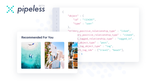
From the creators of devRant, Pipeless lets you power real-time personalized recommendations and activity feeds using a simple API
Learn More


Related Rants

 Well... Erm...

I need advice. I'm to create a web application with an interactive map (lots of polygons to put on it, with markers and other map things) with a large amount of data and it is expected to have frequent changes to the said data. I have no idea of the tech stack to be used and the performance of the app is the biggest concern. (I'm thinking maybe to create an API, use MongoDB, then create a web client for it but I'm not that sure). Please give me your insights.
undefined
advice needed
interactive map
help
what to do
bigdata